In some ways, we really take maps for granted in the modern age. With just a tap of the finger, you can bring up a detailed map of almost anywhere in the world on your phone or computer. However, maps are so much more than just a tool to get from point A to point B. For most of history, maps have played an invaluable role in exploration, international relations, and much more.
As the books on this list demonstrate, the history of maps and cartography reveal much about the history of the world. From spies on cartographical missions to the mapmakers who made Columbus’ voyage possible, here are nine cartography books to guide your curiosity.
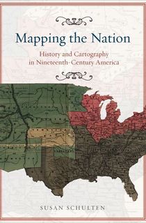
Mapping the Nation
For Americans in the 19th century, maps could convey far more information than just coastlines and capital cities. They used them to discover weather patterns, to track the spread of disease, and to gauge the power of the enemy during the Civil War, to give just a few examples. As the century drew to a close, Congress created an archive specifically for preserving maps as they knew they would serve as an important part of American history. In Mapping the Nation, author Susan Schulten traces the United States’ transformative journey through the 19th century through its maps and provides exciting insight into how the maps of the past have shaped the nation of the present.
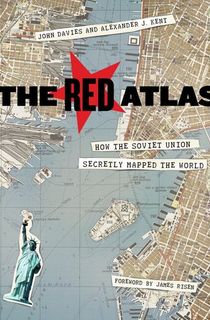
The Red Atlas
Between 1950 and 1990, the army of the Soviet Union participated in a large-scale, shockingly detailed mapping project. They were able to create detailed, street level maps of major cities across the world, but even more surprisingly, they were able to apply just as much detail to small towns. How were the Soviets able to pull off such a feat? Some of the detail can be easily explained, but other elements—like the depth of rivers and bridge weight capacities—were not detectable by Cold War-era satellites.
Featuring hundreds of extracts from the maps, The Red Atlas seeks to discover just how the Soviets managed to accomplish their project. In this book, cartography and espionage go hand in hand.
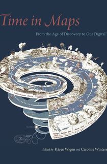
Time in Maps
A brief search on the Internet can bring anyone to several digital and interactive maps of history, visual representations of mankind’s journey from the past to the present. But these modern creations are far from the first attempts at mapping time. For the past 500 years, people across the globe have been visualizing the passage of time on their maps, from the Aztecs to missionaries in China and Korea. In Time in Maps, several leading scholars have come together to make their own kind of map of this unique part of history.
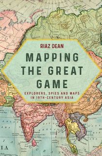
Mapping the Great Game
For most of the 19th century, Great Britain and Russia were engaged in a diplomatic battle for influence over Asia that came to be known as The Great Game. While both countries sought to expand their empires into places like India, Afghanistan, and Tibet, Britain had a trick up its sleeve—cartography. Under the leadership of George Everest, the Great Trigonometrical Survey of India embarked on a major mapping project of Central Asia.
Indian explorers called Pundits were able to explore and map out the area, but they were also deployed by Everest to spy on any potential Russian activity. The Pundits’ findings changed much of what the Western world knew of Central Asia through their discoveries, and they played a key role in securing India for the British. In Mapping the Great Game, their story is finally being told.

The Measure of Manhattan
In the early 19th century, surveyor John Randel Jr. was tasked with surveying or “gridding” the mostly undeveloped island of Manhattan. An intense perfectionist driven by Enlightenment values, Randel created a series of detailed maps that changed the island forever. Beyond surveying, he also invented new tools for his profession, designed an elevated subway system, and gained admirers and detractors for his proposal of a different route for the Erie Canal. In The Measure of Manhattan, Marguerite Holloway argues that the Manhattan we know today owes everything to the maps of John Randel Jr.
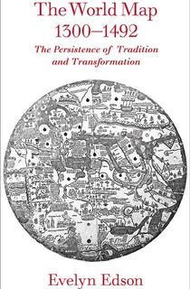
The World Map, 1300–1492
The 14th and 15th centuries were a period of major advancement for cartography and mapmaking. Discoveries of new land and coastline by traveling merchants and missionaries as well as new technology changed everything for mapmakers of the day. As the world changed rapidly around them, they were forced to reckon with opposing viewpoints as they crafted their maps.
In The World Map, author Evelyn Edson recounts the traditional and progressive influences that impacted the mapmakers and the people who used their maps. Ultimately, she discovers that through combining the old and the new, they were able to find their best success and create the maps that led the way for Columbus and the Age of Discovery.
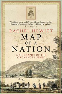
Map of a Nation
First founded in the late 1700s, the Ordnance Survey is the national mapping agency of Great Britain. They were also the creators of the famous Ordnance Survey map, the first complete and accurate map of the British Isles. In Map of a Nation, Rachel Hewitt recounts the creation of the map and the history of the organization itself. Fraught with political tensions and revolutions, the story of the Ordnance Survey proves to be closely tied to the history of the United Kingdom itself.
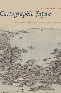
Cartographic Japan
The process of creating, reading, and studying maps is deeply ingrained in modern Japanese culture. But how did cartography—once only a hobby of Japan’s highest elite—become so widespread? In Cartographic Japan, several leading scholars examine 100 maps dating from the late 16th century to the present to find the answer. In addition to their insights on some of the most important events in Japanese history, the experts also provide a fascinating look into how Japanese maps were made and used.

The Phantom Atlas
While many maps reveal the truth about history, just as many can tell us about the mistakes of the past. These are the maps author Edward Brooke-Hitching focuses on in The Phantom Atlas. The book is a collection of some of the strangest maps in history from depictions of monsters in the sea to the fictitious towns and islands that managed to evade detection by mapmakers for decades if not centuries. Not only is it a fun look into cartographical errors, but the book also provides excellent insight into mapmaking and how it has evolved over time—mistakes and all.
This post is sponsored by Open Road Media. Thank you for supporting our partners, who make it possible for The Archive to continue publishing the history stories you love.


